Newsletter "Beyond the Postcards" Subscribe
Plan Your Cyprus Trip: Hotels: Expedia, Villas & Apartments: Vrbo, Car Rentals: DiscoverCars, Tours: GetYourGuide, Airport Transfers: WelcomePickups
- Home
- Things To Do in Cyprus
- Hiking in Cyprus
- Hiking in the Troodos Mountains
Hiking in the Troodos Mountains
Artemis and Atalanti both circle Mount Olympus, but one can leave room for a village lunch while the other asks for the greater part of your day. Artemis takes approximately three hours to complete its 7-kilometer circuit. Atalanti covers roughly twice the distance, requiring considerably more time and commitment. They share a mountain, but not the same demands.
Elsewhere in the mountains, the choices become more varied. Around Platres, trails descend through forested river valleys. Near Troodos Square, shorter walks lead through black pine forest toward open viewpoints. Farther east, Madari offers a more rugged landscape of cliffs and exposed ridges.
These are different walking experiences, not simply alternative routes through similar scenery.
The Different Landscapes of Troodos
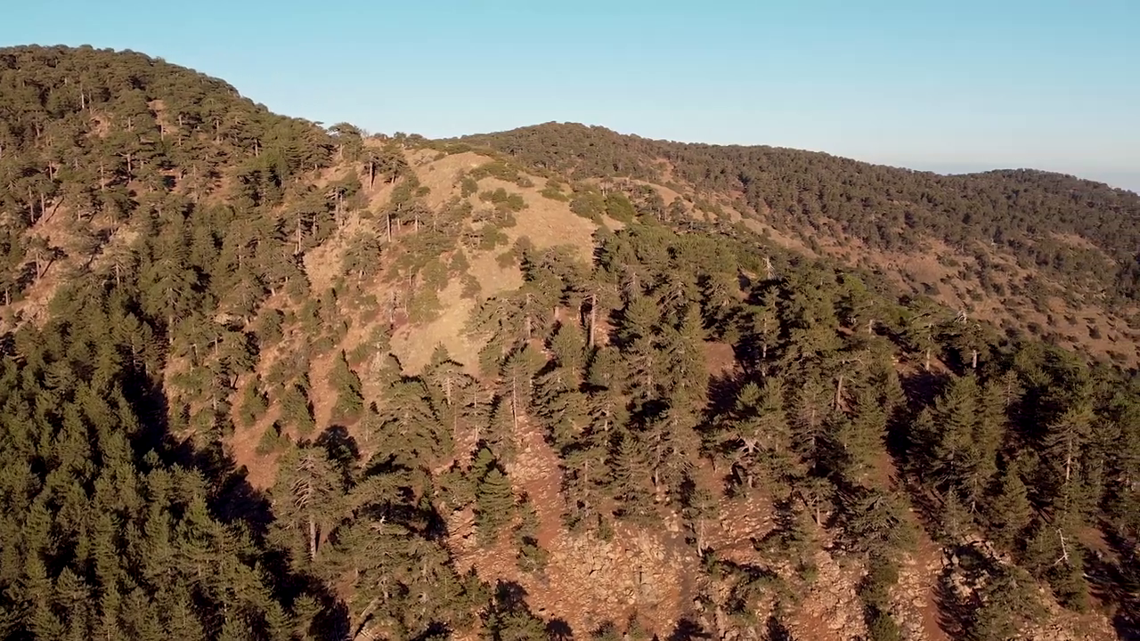 Troodos Mountains, Cyprus
The Troodos Mountains rise through the heart of Cyprus, reaching approximately 1,952 meters at Mount Olympus, also known as Chionistra. At the highest elevations, black pine trees, juniper, rocky slopes, and open views give the landscape its distinctive character. Walking here often involves following the mountain's contours rather than climbing toward a summit.
Lower down, particularly around Platres, streams and forested valleys create a different setting. Some trails descend toward waterfalls, with changes in elevation and underfoot conditions that are not immediately obvious from their distance. The Madari area has another character again, with pronounced ridges, cliffs, and geological formations.
A traveler looking for several hours of uninterrupted mountain walking may be happiest near Mount Olympus. Someone drawn to running water and woodland might prefer the Platres area. Others will find greater satisfaction in the more rugged landscapes around Madari.
Walking Around Mount Olympus
Two established trails, Artemis and Atalanti, follow routes around Mount Olympus at different elevations. Both offer extensive mountain scenery, but they require different commitments.
Artemis Trail: A High-Mountain Circuit
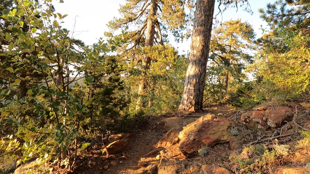 Artemis Trail
The Artemis Trail is a circular route of approximately 7 kilometers, generally following the mountain at around 1,850 meters above sea level. The walk takes approximately 2.5–3 hours, with an official Grade 1 difficulty classification. Much of its appeal comes from the landscape through which it passes: mature black pine trees, rocky formations, and views toward the surrounding mountains.
While walking the Artemis Trail, we came across the remains of old Venetian fortifications. Until that moment, our attention had been on the mountain landscape.
What surprised us was finding this trace of Cyprus's history so high in the mountains, far from the castles and historic towns where we usually expect to encounter it. It gave the walk an unexpected dimension. Artemis was no longer simply a nature trail; it was also a place where we could encounter part of the island's past.
Artemis works particularly well for travelers who want to experience the higher elevations without undertaking a major ascent. It is not a climb to the summit. Instead, the trail follows a circuit around the mountain, allowing the changing landscape to become the focus.
Its circular layout is another advantage. Provided the full route is open and completed, walkers return to their starting point without arranging transport from another trailhead.
We would favor Artemis for travelers who enjoy sustained walking but prefer to avoid a particularly demanding mountain route. The trade-off is its elevation. Even when conditions are comfortable along the coast, the weather around Mount Olympus can be considerably different.
Atalanti Trail: A Longer Commitment
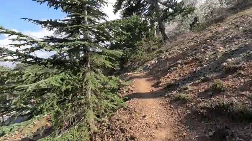 Atalanti Trail, Troodos
Atalanti circles Mount Olympus at a generally lower elevation than Artemis. At approximately 14 kilometers, with an estimated walking time of 4–5 hours and a Grade 2 difficulty classification, it requires considerably more time.
The trail begins at Troodos Square and passes through black pine and juniper forest, including areas with exceptionally old trees. It also passes near the entrance to a former chrome mine, a reminder of the mountain's industrial history.
The difference between Artemis and Atalanti is not simply that one is longer. Atalanti asks travelers to dedicate a substantial part of the day to walking. Maintaining a comfortable pace, carrying sufficient water, and allowing time for breaks become more important.
There is also a route detail worth knowing. After approximately 9 kilometers, the trail crosses the Troodos–Prodromos road. Walkers must then follow a dirt-road section for about 200 meters before continuing along the marked trail.
We would choose Atalanti for travelers who genuinely enjoy longer hikes and want an extended experience of the high mountain forest. For those visiting Troodos for only one day, with plans to explore villages or enjoy a leisurely lunch afterward, Artemis may offer a better balance.
Following the River Toward Platres
The mountain landscape changes around Platres. Here, forested valleys and running water create a different walking experience from the open slopes near Mount Olympus. The Kalidonia Trail is one of the clearest examples.
Kalidonia Waterfall Trail: The Journey Down the Valley
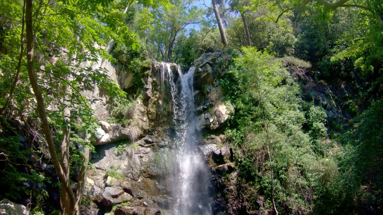 Caledonia Waterfall
Also known as the Caledonia Trail, this route follows the Kryos Potamos river through forest toward Kalidonia Waterfall. The official route is approximately 3 kilometers long, with an estimated walking time of around 1.5 hours and a Grade 3 difficulty classification.
It can be approached from the upper Troodos side or from the Psilo Dentro area above Platres. The important consideration is that Kalidonia is a linear route with a substantial difference in elevation between its endpoints.
Walking downhill from the upper trailhead brings you toward Platres, but does not return you to where you began. Reversing the route requires an uphill walk, while returning to the upper starting point on foot adds considerable effort.
The terrain also requires care. Uneven surfaces, rocky sections, and potentially slippery ground make the trail more demanding than its length might suggest.
Kalidonia is an appealing choice for travelers particularly interested in a wooded river valley and waterfall. However, we would not select it without first deciding where to begin and how to return.
For a detailed comparison of Cyprus's waterfall routes, including Kalidonia and Millomeris, see Waterfall Walks in Cyprus.
Shorter Walks Near Troodos Square
Longer hikes are not the only way to experience the mountain forest. Two shorter established trails, Persephone and Livadi, suit different kinds of outings.
Persephone Trail: Forest and an Open View
 Persephone Trail, Troodos
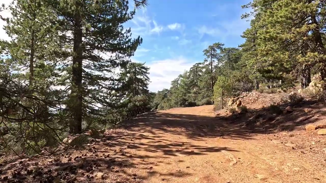
Persephone begins near Troodos Square and follows a route through black pine forest toward a viewpoint at Makria Kontarka. The trail is approximately 3 kilometers long in one direction, with an estimated walking time of around an hour and a Grade 1 classification.
The first part of the trail passes through dense woodland before the route opens toward views across the southern and southwestern slopes. This gives Persephone a clear destination without requiring a lengthy mountain circuit.
However, it is a linear trail. Returning along the same path approximately doubles the distance, and the return involves gaining the elevation lost on the outward journey. A different return route may be possible, depending on current access.
We would consider Persephone for travelers who want a forest walk with a viewpoint, but who are willing to plan how they will return. Anyone looking for an uncomplicated circular outing may prefer Livadi.
Livadi Trail: A Gentle Introduction to the Mountain Forest
 Livadi Trail
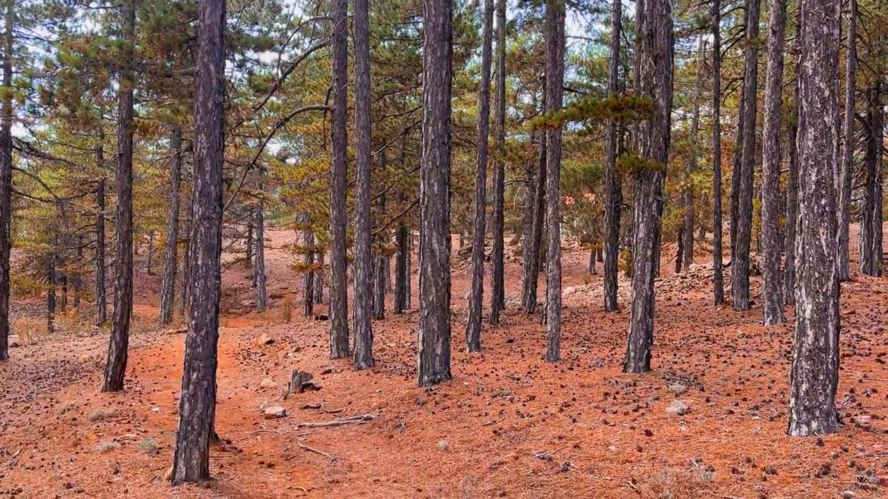
Livadi is a circular trail of approximately 1.5 kilometers, near the Kampos tou Livadiou picnic area. The walk takes around 30 minutes, and the trail has a Grade 1 classification.
The trail passes through black pine and juniper forest, with a viewpoint toward the Solea Valley. Livadi is also officially designated as wheelchair accessible, although individual suitability should be confirmed against current conditions and mobility requirements.
One detail is useful when following the route: after reaching the viewpoint, walkers retrace the path for approximately 100 meters before turning onto the marked continuation of the circuit.
What makes Livadi appealing is its limited time commitment. It allows travelers to experience the mountain forest without making hiking the principal activity of the day.
For someone visiting Troodos primarily for its villages, scenery, or mountain atmosphere, this may be enough. Those seeking a longer walking experience will find greater scope on Artemis or Atalanti.
The Rugged Landscape of Madari
Not all Troodos hiking takes place around Mount Olympus. Farther east, the Madari area offers a more rugged landscape of ridges, cliffs, and exposed rock.
Teisia tis Madaris: Short Distance, More Demanding Terrain
 Teisia tis Madaris Trail
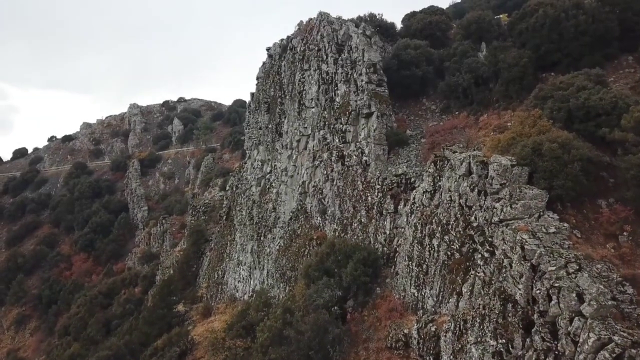
Teisia tis Madaris is a circular route of approximately 3.5 kilometers, with an estimated walking time of around 1.5 hours. Despite its relatively short distance, it carries a Grade 3 difficulty classification. The trail passes prominent rock formations and cliffs, with views toward the Mesaoria Plain and Morfou Bay.
Its appeal is the pronounced mountain scenery and the sense of being among the ridges rather than walking through an enclosed forest. This is not the walk we would choose for someone looking for an easy introduction to Troodos. The difficulty classification reflects terrain that requires more care, particularly around uneven or exposed sections.
Access also deserves attention. The trail begins below the Madari fire lookout station, with vehicle access from the Chandria–Polystypos road. Road conditions and the suitability of your vehicle should be checked before departure.
Teisia tis Madaris is better suited to confident walkers interested in rugged mountain landscapes. Travelers whose priorities are comfortable forest walking and a more relaxed outing are likely to be happier around Troodos Square.
Choosing the Right Troodos Trail
For a quick comparison of the six walking experiences:
For a high-altitude mountain circuit: Artemis offers a strong balance of scenery, walking time, and manageable effort.
For an extended mountain hike: Atalanti is more appropriate when spending several hours walking is the main purpose of the day.
For a river valley and waterfall: Kalidonia offers a different experience, provided its uneven terrain and return arrangements suit your plans.
For a shorter forest walk with a viewpoint: Persephone is appealing, although the return distance needs to be considered.
For a brief, gentler introduction: Livadi offers a short circuit through the mountain forest.
For rugged ridges and exposed mountain scenery: Teisia tis Madaris is the more demanding choice.
When to Choose Each Mountain Area
 Troodos Mountains
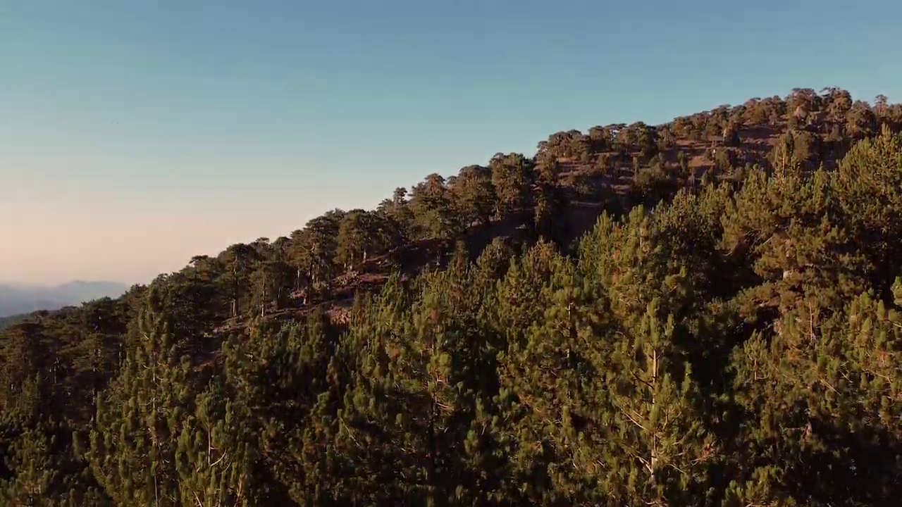
Season affects different parts of Troodos in different ways. At the higher elevations around Mount Olympus, summer can provide more comfortable walking temperatures than the coast, but strong sunshine and changing mountain weather remain considerations. Artemis and Atalanti should still be approached with suitable clothing and an early enough start.
Spring and autumn can be particularly attractive for walking, depending on recent rainfall, temperature, and trail conditions. The valleys around Platres have their own considerations. River levels and wet ground can affect paths such as Kalidonia, making the season and recent weather important when deciding whether to visit.
On exposed ridges around Madari, wind, visibility, and weather conditions deserve particular attention. Winter can bring snow, ice, heavy rain, and restrictions to higher mountain routes. A trail that is straightforward in mild weather may be inappropriate under winter conditions.
We would choose the mountain area and season together, rather than assume that every part of Troodos offers the same walking conditions.
Combining Hiking With the Rest of Troodos
For independent travelers, hiking can be the central experience of a mountain visit without taking over the entire itinerary. The most practical approach is to organize the day around one area.
Around Mount Olympus
Artemis can leave time for lunch near Troodos Square or a visit to one of the surrounding mountain villages. Atalanti deserves a more generous schedule. After several hours of walking, we would avoid filling the rest of the afternoon with additional destinations.
Around Platres
A Kalidonia walk can be combined with time in Platres, provided the route and return arrangements have been planned. This area works well for travelers particularly interested in forest scenery, waterfalls, and a mountain village setting.
Around Madari
Madari deserves its own outing. The approach roads, more demanding terrain, and separate location make it less suitable as a casual addition to a day already spent around Mount Olympus.
Nearby villages such as Chandria or Kyperounta can form part of a wider visit, depending on your chosen route and available time.
Staying in the Mountains
Travelers planning several hiking days may appreciate staying in Troodos rather than repeatedly traveling from the coast. Platres is particularly practical for the waterfall trails and forest walks in its vicinity, while accommodation elsewhere in the mountains may be better suited to walks around Mount Olympus or more extensive village exploration.
For a single-day visit, however, changing accommodation is rarely necessary simply to complete one walk.
Before Setting Out on a Troodos Trail
Each route has characteristics that should be checked before departure.
For Artemis and Atalanti, pay attention to mountain weather, elevation, route markings, and the amount of daylight available. For Kalidonia, confirm the starting point, return arrangements, and conditions along the river. For Persephone, establish whether you intend to return along the same path.
For Livadi, check current accessibility conditions if these are important to anyone in your group. For Teisia tis Madaris, consider the more demanding terrain and access to the trailhead.
Appropriate footwear, sufficient drinking water, and weather protection are important. Longer walks require additional preparation, including food, route information, and enough daylight to complete the intended distance.
Mountain weather, damaged paths, erosion, wildfire risks, and maintenance work can affect access. Check the latest information from the Cyprus Department of Forests and relevant authorities before setting out, and follow all posted restrictions.
Published grades and walking times are general indications, not guarantees that a route is suitable or safe for a particular person or on a particular day. Do not enter closed trails or continue when conditions exceed your abilities. If an emergency occurs in Cyprus, call 112.
Which Troodos Hiking Experience Would We Choose?
For reasonably active travelers choosing their first substantial hike in Troodos, we would still choose Artemis. The circuit takes only part of a day, needs no return transfer, and, as we discovered among the Venetian remains, can hold more than mountain views.
We would leave the afternoon free for a village lunch. On another visit, with more time devoted to walking, Atalanti could take its place.
There is no need to fit both into one day.