Newsletter "Beyond the Postcards" Subscribe
Plan Your Cyprus Trip: Hotels: Expedia, Villas & Apartments: Vrbo, Car Rentals: DiscoverCars, Tours: GetYourGuide, Airport Transfers: WelcomePickups
- Home
- Things To Do in Cyprus
- Hiking in Cyprus
- Waterfall Walks in Cyprus
Waterfall Walks in Cyprus
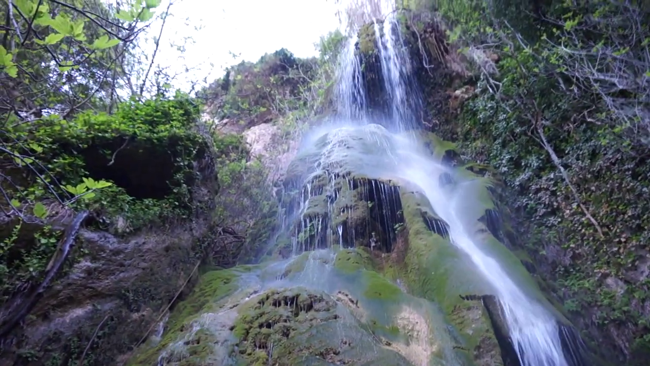 Kremiotis Waterfall
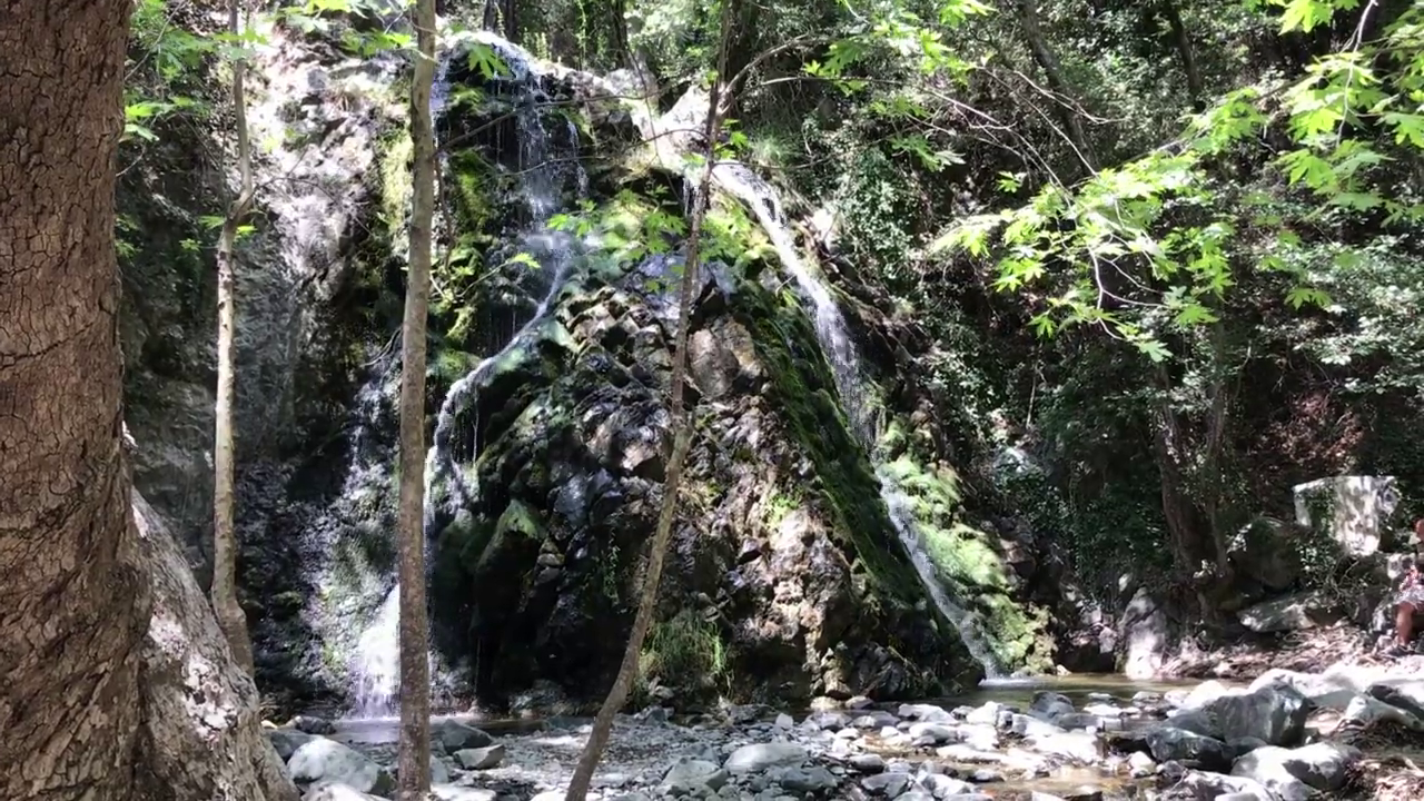 Chantara Waterfall
When we reach Caledonia Waterfall, we do not immediately turn around. After negotiating the rocky trail through the forest, we prefer to find somewhere safe to sit, enjoy a snack, take photographs, and spend time admiring the waterfall and its surroundings. It is a welcome rest after a demanding walk.
That experience has shaped how we think about waterfall walks in Cyprus. The appearance of the waterfall is only part of what makes an outing worthwhile. The terrain, physical effort, surrounding landscape, and time needed to enjoy the destination deserve equal consideration.
Four waterfalls illustrate those differences particularly well. Caledonia, Millomeris, and Chantara lie in the Troodos Mountains, while Kremiotis is near Kritou Terra in the Paphos countryside. Their approaches range from rocky woodland trails to forest roads and shorter paths through dense vegetation. Each offers a different reason to put on your walking shoes.
Caledonia Waterfall: A Rewarding Walk Through The Forest
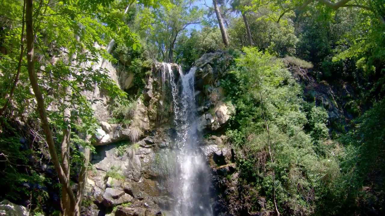 Caledonia Waterfall
The Caledonia Nature Trail, near Pano Platres, is our preferred waterfall walk for travelers who enjoy forests and are prepared for a demanding trail. It follows the Kryos Potamos mountain stream through a wooded valley, with pine trees on the surrounding slopes and moisture-loving vegetation growing closer to the water.
We particularly enjoy the variety of plants and greenery along the route. There is plenty to observe as you make your way through the forest, and the vegetation gives the trail a character quite different from the more exposed mountain paths elsewhere in Cyprus.
However, we have found the approach to Caledonia Waterfall quite difficult. The uneven ground, rocks, changes in elevation, and stream crossings require concentration. It is not a walk we would undertake in ordinary sightseeing shoes or without sufficient preparation.
In our experience, even the approach to the waterfall demands reasonable fitness and confidence on uneven ground. For planning purposes, however, visitors should prioritize the official difficulty rating of 3: the complete trail is considered suitable for adults with very good to excellent fitness and unsuitable for young children. Proper hiking shoes with reliable grip are important, and we would bring drinking water and snacks. The forest makes the effort worthwhile, but it does not remove the physical demands of the trail.
Reaching Caledonia Waterfall
The complete Caledonia Nature Trail is approximately 3 kilometers (1.9 miles) long, with an official walking estimate of around 1.5 hours in one direction. It is a linear trail, connecting a higher starting point near the Troodos–Platres road with the lower end at Psilo Dentro, above Pano Platres.
The waterfall lies along the route rather than at its final endpoint. Visitors starting near Psilo Dentro can walk uphill toward the waterfall before returning along the same path. Those starting from the higher end follow a generally descending route, but must still consider the return or arrange transport from the lower end.
The published walking estimate describes the complete trail in one direction, not a round-trip waterfall visit with time for stops. We would allow additional time to enjoy the waterfall and return without rushing, particularly when the terrain is demanding.
In summer, we prefer to start first thing in the morning, before the heat becomes intense. Even with forest shade, the uphill sections can be tiring in warm weather. Starting early allows us to enjoy the landscape without spending much of the walk coping with the heat.
Caledonia rewards those who appreciate spending time among trees and following a mountain stream, even when the walking becomes demanding. Visitors seeking an effortless approach, or anyone uncomfortable with potentially slippery stream crossings, would be better served by a different outing.
Millomeris Waterfall: A Shorter Trail That Still Demands Care
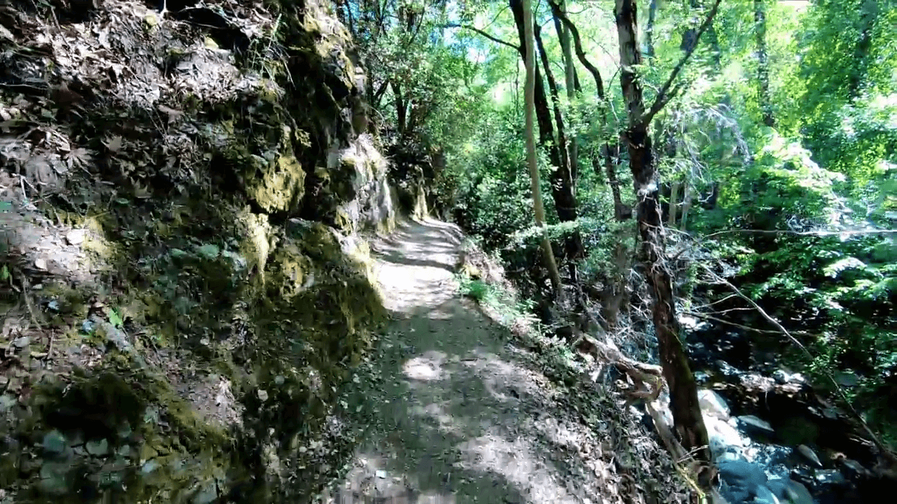 Millomeris Trail
Millomeris Waterfall is also near Pano Platres, but its marked nature trail is considerably shorter than Caledonia. At approximately 1.2 kilometers (0.75 miles) in one direction, it may initially appear the more manageable choice.
The route begins near the Church of Panagia Faneromeni, between the center of Pano Platres and the road toward Kato Platres. From there, the path descends toward the waterfall through two contrasting environments.
The first part runs roughly parallel to Kryos Potamos, passing through vegetation along the stream. Farther along, the landscape becomes more open, revealing lower mountain vegetation and views toward the surrounding countryside.
This transition gives the walk its own identity. Instead of remaining within a wooded ravine, visitors experience a change from a sheltered streamside environment to more open mountainside scenery.
Millomeris Waterfall drops approximately 20 meters. Its height may attract attention, but the changing surroundings and the conditions underfoot are more useful considerations when deciding whether to visit.
Is Millomeris Easier Than Caledonia?
Millomeris is shorter, but it is not officially classified as an easy walk. Like Caledonia, its marked trail carries a difficulty rating of 3, a classification intended for adults with very good to excellent fitness. The shorter distance should not be mistaken for a guarantee of easier walking.
The descent toward the waterfall can involve uneven ground and slippery sections. Returning to the village on foot means climbing uphill, something that may be more demanding than visitors expect from the distance shown on a map.
A separate vehicle approach toward the waterfall has also been described by the Cyprus Department of Forests. However, road access and the condition of the final approach should be checked locally before relying on this option.
The shorter marked trail makes Millomeris worth considering for travelers who want to combine a waterfall walk with other activities around Platres, provided they can comfortably manage the terrain. It is not necessarily a suitable substitute for Caledonia simply because the distance is shorter.
Chantara Waterfall: A Forest Route Toward Foini
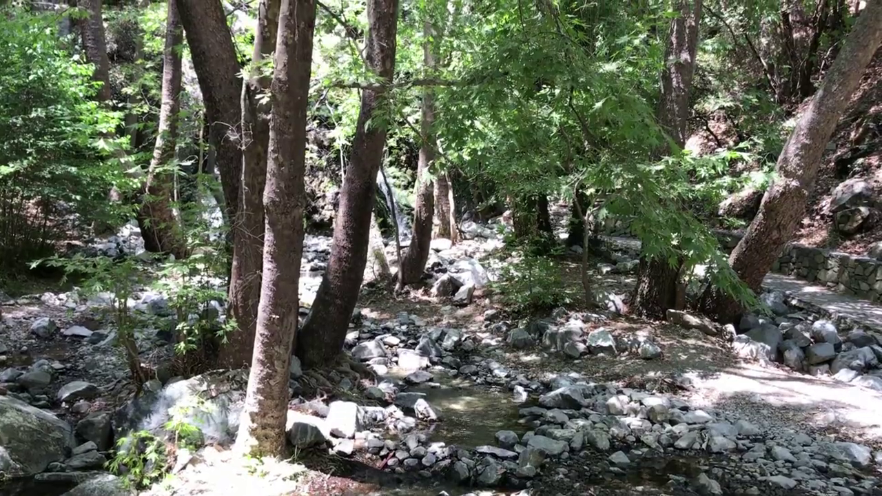 Chantara Trail
Chantara Waterfall offers a different kind of mountain outing. It lies along the Trooditissa–Foini Nature Trail, which follows a forest road from the area near Trooditissa Monastery toward the village of Foini.
The surrounding landscape includes pine trees, strawberry trees, and the endemic golden oak. As the route descends, views open toward Foini and the nearby mountains. The walk also passes through an area of vertical rock formations, adding variety to the forest scenery.
Chantara Waterfall appears along the route, where the Trooditissa River drops approximately 8 meters. Unlike Caledonia, the approach is not principally a rocky path following a stream through a narrow wooded valley. Much of the journey follows a broader forest road.
The complete trail is approximately 4.5 kilometers (2.8 miles), with an estimated walking time of two hours in one direction. Its official difficulty rating is 1, the lowest category, but the route descends nearly 400 meters between its starting and finishing points.
That elevation change deserves attention. Following the route downhill toward Foini is a very different undertaking from walking back uphill to the original starting point.
The Descent Changes the Plan
Chantara is an appealing choice for travelers who enjoy a longer mountain outing and want to combine walking with a visit to Foini. The village makes a natural addition to the experience, particularly if transport arrangements allow you to finish the route there rather than retrace the entire descent.
One limitation is that the route follows a forest road that may also be used by vehicles and cyclists. Visitors looking for an exclusively pedestrian trail surrounded by a stream and dense vegetation throughout may be disappointed.
Chantara works particularly well as a planned mountain excursion with a clear finishing point. Its relatively gentle official difficulty rating should not distract from the return arrangements and elevation changes involved.
Kremiotis Waterfall: A Different Experience in The Paphos Countryside
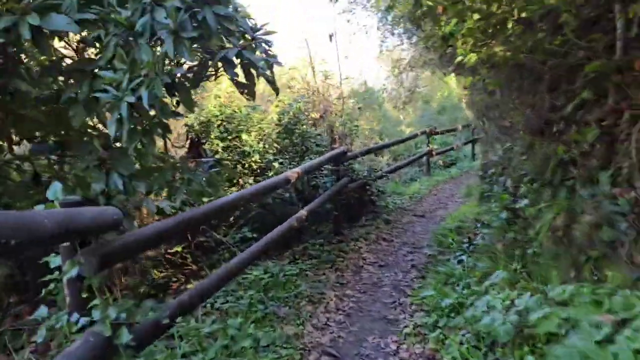 Kremiotis Trail
Kremiotis Waterfall, also written as Kremmiotis, lies near Kritou Terra in the Paphos district. Its landscape differs from the higher-elevation forests of Troodos, with lush vegetation concentrated around the river and the rocky waterfall setting.
The waterfall has an unusual two-part formation. One section includes a cave where water falls through an opening, and a narrow passage through the rock connects the two sections.
This arrangement gives Kremiotis an identity quite distinct from the more conventional waterfall settings of Caledonia and Millomeris. The rock formations, confined spaces, and surrounding vegetation are central features of the place.
The watercourse also has a historical connection with Kritou Terra. In earlier times, the river supported watermills used for grinding grain. That relationship between the flowing water and village life adds a cultural dimension to a visit.
Walking to Kremiotis Waterfall
The walking experience depends on where you begin. Some visitors use a closer access point for a relatively short outing, while others incorporate the waterfall into a longer walk from Kritou Terra. Paths may include uneven ground, steps, and descents toward the water, with slippery surfaces particularly likely in damp conditions.
The narrow passage between the waterfall sections deserves special consideration. Entering a confined, wet passage is not suitable for everyone and may be unsafe depending on conditions.
We would not consider passing through the tunnel essential to a visit. There are alternative viewing approaches, but their availability, safety, and current condition should be checked locally. Reaching a particular viewpoint is never a reason to ignore access restrictions or attempt an unsafe passage.
Seasonal water flow is another consideration. Kremiotis may look less dramatic during drier periods than in photographs taken after substantial rainfall. Travelers making a special journey for the waterfall itself should take that uncertainty into account.
The Appeal and Limitations of Kremiotis
Kremiotis is particularly interesting for independent travelers exploring western Cyprus. Those staying around Paphos, Polis, or Latchi may find it more convenient than traveling into Troodos solely to see a waterfall.
Combining the visit with time in Kritou Terra gives the outing a broader purpose. The village and surrounding countryside are worth considering for travelers who enjoy exploring places beyond the main tourist centers.
Kremiotis is less compelling for someone specifically seeking a long, established mountain hiking trail. Its cave and waterfall approaches may also be inappropriate for young children, visitors with limited mobility, or anyone uncomfortable with narrow and slippery spaces. Its strongest appeal lies in the unusual waterfall formation and rural setting, provided current access conditions allow a safe visit.
Which Waterfall Walk Would We Choose?
Your starting point matters almost as much as your preferred walking experience. From Platres, Caledonia and Millomeris are the natural candidates. The first offers a more substantial woodland outing; the second covers less distance but remains demanding underfoot. Neither should be selected without considering physical ability and trail conditions.
Chantara requires a different kind of planning, particularly if you intend to follow the linear route toward Foini. Kremiotis makes more sense within a wider exploration of the Paphos countryside, provided current access conditions are suitable.
For travelers deciding between the four, we would give particular weight to the time available and the journey required to reach the starting point. A waterfall that looks appealing in isolation may be less attractive once the driving, walking, and return arrangements are considered together.
The Best Time For Waterfall Walks in Cyprus
Spring is an appealing season for waterfall walks. Rainfall during the preceding months can increase the flow of water, while the surrounding vegetation often appears particularly green.
However, stronger water flow can also mean more difficult walking conditions. Mud, wet stones, and stream crossings may become hazardous after heavy rainfall. A dramatic waterfall is little consolation if the approach is unsafe.
Summer brings a different set of considerations. Higher elevations in Troodos are generally cooler than the coastal lowlands, but strenuous walking can still be uncomfortable, particularly on exposed or uphill sections. Early starts and routes appropriate for the day's temperatures make a considerable difference.
Autumn can also offer pleasant walking conditions, depending on the weather. Winter requires additional caution, especially in higher mountain areas where rain, snow, ice, and slippery paths can make walking difficult or unsafe.
The amount of water flowing over a waterfall changes with rainfall and seasonal conditions. Photographs taken during a wetter period should not be treated as a reliable indication of what visitors will see on any particular day.
Combining Waterfall Walks With Cyprus Villages
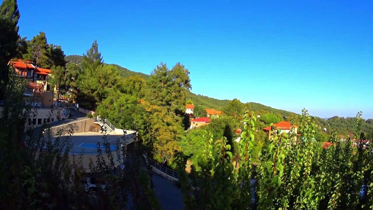 Platres Village
A waterfall walk can fit naturally into a wider day exploring the countryside. The most practical combination depends on where you are staying and how much time you want to spend walking.
Pano Platres is particularly convenient for Caledonia and Millomeris. After a morning on either trail, stopping in the village for lunch or coffee is a natural way to complete the outing without rushing back to the coast.
Foini is a logical addition to Chantara, provided the route and return transport have been planned beforehand. Kritou Terra plays a similar role for visitors exploring Kremiotis, offering an opportunity to experience the surrounding rural area.
For travelers staying in a coastal hotel or villa, one well-planned excursion may be sufficient. Driving on mountain roads can take longer than distances on a map might suggest, so fitting too many unrelated activities into the same day can diminish the experience.
If waterfall walking is a major interest, staying in or near Platres may make several excursions easier. Otherwise, an outing that fits comfortably into your existing itinerary is likely to be the more practical choice.
What To Know Before Setting Out
Waterfall walks require more preparation than their distances sometimes indicate. Rocky ground, roots, stream crossings, steep sections, and wet surfaces can make a short route physically demanding.
Before setting out, check the full trail length, elevation changes, official difficulty classification where available, and whether the route is linear or circular. If you intend to return to your starting point on foot, include that distance and any uphill sections in your plans.
We would wear proper hiking shoes with reliable grip and carry sufficient drinking water, snacks, suitable clothing, sun protection, and a fully charged phone. For longer or unfamiliar routes, reliable navigation information and enough daylight to finish comfortably are important.
Do not assume that drinking water, mobile reception, or clear signage will be available throughout a walk. Stay on designated paths, avoid climbing wet rocks or approaching unprotected drops, and do not enter streams or caves when conditions appear unsafe.
Waterfalls and natural pools should not be treated as supervised swimming areas. Water depth, slippery rock surfaces, falling debris, and changes in flow can create risks that are not obvious from the shore.
Access restrictions, trail conditions, road arrangements, and weather warnings can change. Consult current information from the Cyprus Department of Forests and relevant local authorities before visiting. For Kremiotis, where approaches are less standardized, checking local access information is particularly important.
Published route descriptions and difficulty ratings are planning references, not guarantees that a trail is accessible or suitable for every visitor. If conditions deteriorate or the terrain exceeds your abilities, turn back. In an emergency in Cyprus, call 112.
Are Waterfall Walks in Cyprus Worth Your Time?
Before making a special journey to a waterfall, consider whether you would still enjoy the outing if there were less water flowing than you expected. It is a useful way to judge whether the walk itself suits your interests, rather than relying entirely on photographs of the destination.
For us, Caledonia passes that test. We enjoy the forest, the changing vegetation, and the physical satisfaction of completing the walk. Reaching the waterfall gives us a reason to rest and appreciate the surroundings before beginning the return.
For a shorter visit focused mainly on seeing the waterfall, the answer may be different. Seasonal flow, access conditions, and the time required to get there become more important when the destination itself accounts for most of the appeal.
A waterfall cannot guarantee a spectacle on the day you visit. Choosing a walk you will enjoy regardless is something you can control.